
Walk a Davenport Street
A reliable street-by-street search begins with the address as printed, including any unit. The Scott County parcel entry page leads to Beacon, which joins county and Davenport City Assessor data. Ownership is public record, but it is not the same as occupancy. A mailing name may be an individual, a trust, or a business, and the tax statement may go somewhere else.
Keep the parcel number and legal description beside the street address. Those fields connect the map, assessment card, permit record, and recorded deed even when spelling or street numbering differs.
- Search the exact address in Beacon. Save the situs address, owner, mailing address, parcel number, and legal description.
- Open the map and inspect nearby parcel outlines, roads, aerial imagery, and any useful planning layer.
- Search the current owner and legal description in the free AVA land-record index.
- Check Davenport permits for changes tied to the address or parcel.
- For a dated household clue, compare the address in library directories and released historical records.
That sequence keeps the Davenport street directory grounded in dated sources. Each result should retain its search date because parcel and permit systems change.
Davenport Street Search Fields
Beacon is the main current property route. The official county page confirms searches by owner, address, or parcel number, though the vendor interface did not expose stable rules for partial matches or sorting during research. Use a short street form first, then add the house number. If no card appears, an active parcel may be moving through a split, combination, or tax-year processing cycle.
| Field | Input | Use on a Street | Known Limit |
|---|---|---|---|
| Owner name | Text | Find other displayed parcels tied to a name | Partial and exact rules not published |
| Address | Text | Open a site by house number and street | Formatting rules not published |
| Parcel number | Identifier | Return to the same land record | Do not decode the number by guesswork |
| Map controls | Interactive | Inspect parcel, aerial, road, and feature context | Current control labels may change |
County data refreshes nightly, while Assessor and Auditor tabs may not update in lockstep. Newly entered assessment data can appear before the tax system. That timing difference is a reason to call the relevant assessor rather than conclude that a Davenport address does not exist.
View the Beacon address search as it appears to the public.
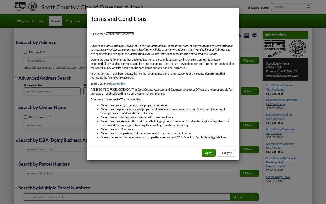
The captured screen shows the official parcel-search starting point; the resulting card still needs to be read with the county's accuracy and timing cautions.
Davenport Records Arranged by Address
No office maintains one complete roster for a Davenport street. Instead, the parcel number and legal description carry an address between record sets. The following street directory sources answer different questions and have different levels of proof.
| Address Record | Local Keeper | Useful Fields | Access Route |
|---|---|---|---|
| Parcel and assessment | Davenport or Scott County Assessor | Owner, site, mailing, legal, values, districts, sketch | Beacon, GIS, or assessor office |
| Recorded instruments | Scott County Recorder | Parties, type, date, number, legal description | AVA, paid account systems, or counter |
| Building permits | Davenport Building Division | Parcel, owner, project, dates, costs, inspections | Online viewer or city request |
| Plats and transfers | Auditor Plat Room and Recorder | Lot, block, addition, transfer context | Online scans and in-person transfer books |
| Historic address entries | Davenport Public Library | Printed occupants, businesses, address and year | Special Collections and FamilySearch |
The county GIS also combines information from the Auditor, Recorder, Treasurer, and two assessor jurisdictions. It can display ownership, taxes, sales, sketches, photos, special assessments, roads, and aerials. It is not a survey or a title opinion.
Terms in Davenport Address Records
Four terms prevent the most common street-search mistakes. Record each one as a separate field rather than treating every address reference as interchangeable.
- Parcel
- A mapped unit of land with an identifier. It may split or combine over time.
- Situs address
- The physical site address on the parcel record, which may differ from the owner's mailing address.
- Plat
- A recorded map defining lots, blocks, additions, or other land divisions. The final plat controls over approximate web map lines.
- Criss-cross directory
- A directory organized by street address so a researcher can move from a place to a printed household or business name.
A legal description is also vital. Davenport deeds can use lot, block, and addition language, while rural-style records may use section, township, range, and quarter descriptions. It is the strongest bridge from a current address to a recorded instrument.
Follow Davenport Deeds in AVA
The Scott County Recorder land-record page offers the free AVA index, Laredo Anywhere for account users, Monarch data access, and the Recorder counter. AVA accepts party names, recording dates, document numbers, document types, subdivisions, municipality, tract, parcel or address, and book/page references. Results can show document number, type, recorded date, Party 1, Party 2, and legal information.
Start with the name on the current parcel card. Find a likely deed, compare its legal description, then search the seller's name for the prior conveyance. Do not mistake a mortgage, lien, release, easement, or plat for a deed. When proof matters, order the official copy from the Recorder at 600 W. 4th Street. The public index is free, while copies and certification use the office's published charges.
Index delay. A document can have an official number yet remain absent from AVA while indexing, verification, and release are pending.
Note: Save every document number and search date before calling the Recorder, since those details help staff locate an unreleased or older instrument.
Davenport Permits Along a Street
The Davenport building permit search adds the structure layer. Records can connect an address with a parcel, owner or mailing name, contractor, class of work, project cost, issue and expiration dates, notes, and inspections. A permit can explain why an old building vanishes from later maps or why its assessed value changes.
Coverage needs care. The city describes building permit history from 1919 and points to a historical viewer for records before March 1, 2020. The inspected guidance also warned that older descriptions did not make the building viewer a full inventory of plumbing, electrical, mechanical, or code activity. Use it as one dated source.
See the city permit address form used in a Davenport street search.
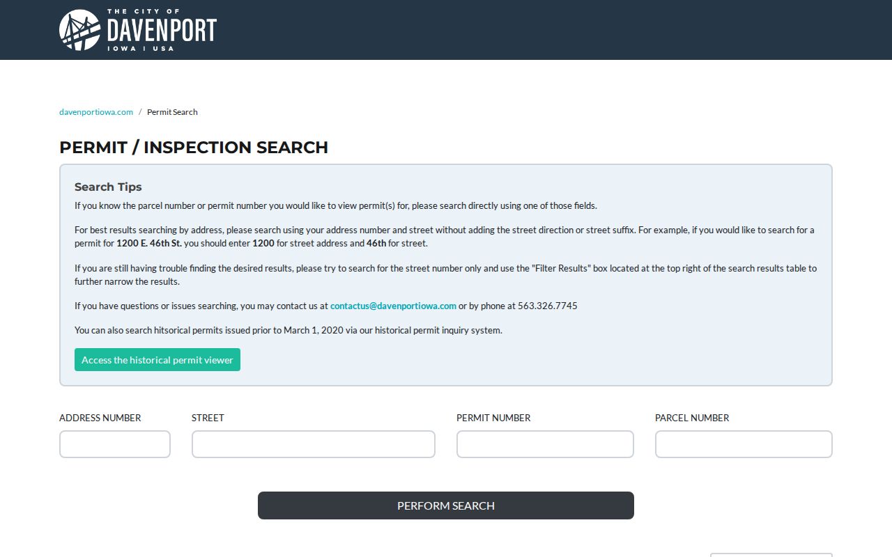
The screen provides an address route into public building history, which can then be matched to the parcel ID and deed legal description.
Map Davenport Streets Carefully
City and county maps give useful context but not final legal lines. The Davenport map hub links city, plat, zoning, ward, and flood resources. County GIS describes layers for parcels, roads, aerials, ownership, taxes, sales, and special assessments. Davenport's ArcGIS services add assessor, planning, flood, parks, neighborhood, and aerial groups.
The city property-line guidance says mapped lines are approximate and directs users to recorded plats. That distinction matters when a fence, easement, boundary, or parcel split is in question. Compare the map with the final plat and AVA instrument, then contact the Auditor Plat Room or Recorder if the web image is unclear.
Read Davenport's warning about online property lines.
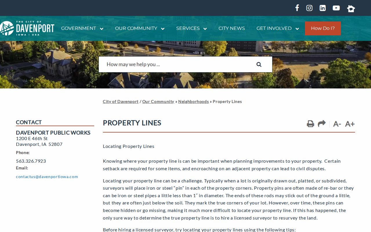
The city guidance helps keep the street directory from presenting an approximate GIS line as a surveyed boundary.
Older Davenport Streets by Address
Richardson-Sloane Special Collections holds Davenport city directories from 1855 or 1856 to the present, depending on which official library description is consulted. Beginning with the 1890–91 volume, a special heads-of-households and businesses section by street address makes reverse searching practical. Compare at least three volumes because a directory may lag a move or abbreviate a name.
The full collection belongs on the Davenport city directory page; for street work, capture only the printed address, household or business name, volume year, page, and any removal notation. Then verify with a deed, permit, newspaper, census, or church record. No official citywide renumbering year was located, so an apparent mismatch should be tested against maps, plats, and legal descriptions instead of silently modernizing the address.
Scott County's 2007 plat-book scans preserve a useful pre-current-GIS snapshot.
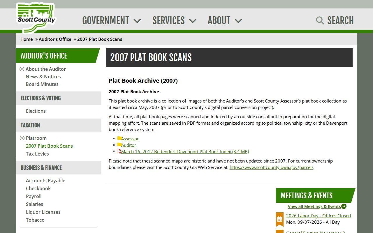
The scans can reveal a parcel-history transition, but current ownership still comes from current assessor and recorded sources.
Davenport Street Geography Changes
A Davenport address occupies several geographies at once. USPS assigns a delivery ZIP and last-line city. Scott County Elections assigns a ward, precinct, and polling site. GIS places the parcel within city service and planning layers. None of those boundaries is a deed boundary, and a ZIP is not a neighborhood.
A documented postal change moved 204 deliveries from a 52804 last line to 52807. Davenport annexation maps also label many expansion years from the city's 1836 incorporation through 2002. Those changes explain why an older street entry may not align with today's postal or civic label. Keep the historic wording, then add the modern match as a separate research note.
Limits of Davenport Street Directories
A parcel card identifies the listed owner, not every person at the site. Its mailing address may point elsewhere. A permit names parties to a project, not a complete household. USPS confirms delivery geography, not who receives mail. Historic directories provide dated snapshots and may omit people or print old information.
Current voter information is also controlled by Iowa law and program rules. Protected addresses and confidential records do not become open because another public index contains a similar name. Use public fields only, minimize personal detail, and verify a claim with the office that keeps the record.
Lawful use. Davenport address records support genealogy, property research, civic inquiry, and personal safety. Never use them to stalk, harass, threaten, or harm anyone.