
Davenport Neighbors by Public Source
Public block research is about parcels and civic geography, not a private household roster. The strongest Davenport sources show land, listed ownership, public building activity, recorded instruments, or a dated historical entry. The source must control the claim. An assessor name is a listed owner. A city-directory name is a dated occupant clue. Neither tells who is present now.
| Source | What it shows about a block | Access |
|---|---|---|
| Scott County GIS/Beacon | Parcel edges, IDs, site and mailing fields, legal and assessment context | Free current map and parcel search |
| Davenport ArcGIS | Planning, zoning, neighborhood, road, aerial, flood and park layers | Public service directory; current viewer controls vary |
| Davenport permits | Public building work, parcel, owner or mailing name, dates and notes | Online building-permit viewer |
| AVA and Recorder | Deeds, easements, parties, legal descriptions and document numbers | Free index; official copies at the Recorder |
| Directories and Sanborn maps | Dated street entries and past building footprints | DPL, FamilySearch and Library of Congress |
| Neighborhood GIS labels | Recognized geographic names | Map context only, not a member directory |
This coverage table keeps nearby Davenport neighbors tied to a stated source. USPS can normalize an address and ZIP last line, but it gives no block roster. Election maps place an address in a ward or precinct, yet they do not list everyone on the parcel.
Map Davenport Neighbors by Parcel
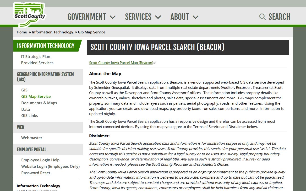
The Scott County GIS map service connects Beacon parcel data with roads, aerials, tax and assessment details. Start at one address and stop at the immediately adjoining lots. The exact current map controls were not captured in the research, so use the live labels rather than assuming a buffer or export button exists.
- Enter the target address in county GIS/Beacon or the Davenport geocoder.
- Write down its parcel ID, legal description, site address, and source date.
- Identify the four or more parcels that share an edge or sit directly across the street.
- Open each parcel for public owner, mailing, assessment, legal, sales, sketch, photo, or special-assessment fields.
- Compare the aerial and final plat before making any boundary claim.
The flow is simple: address to parcel, parcel to adjacent IDs, adjacent IDs to public cards, then legal description to deed or plat. This is narrower than a full Davenport street directory search, which follows an entire named street.
The county's GIS overview explains the public parcel and map layers used around a block.
Read Davenport Neighbor Parcel Fields
A parcel card can include the listed owner, mailing address, situs address, parcel number, legal description, assessed value, tax context, districts, exemptions or credits, sketch, photo, sales, special assessments, and limited transfer information. Situs means the physical site address. The mailing field shows where a tax statement goes, which may be outside Davenport and is not proof that a person lives there.
- Parcel
- A unit of land identified for mapping and assessment.
- Situs address
- The street location assigned to the parcel or improvement.
- Legal description
- The lot, block, section, or other formal land description used in records.
- Plat
- A recorded drawing that establishes lots, streets, easements, or subdivisions.
The Scott County parcel help page describes refresh and accuracy limits.
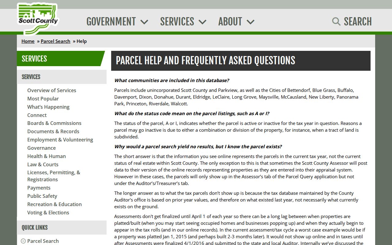
Current working data can change, and GIS-platted parcels may lack a tax record during a cycle. Record the retrieval date.
Note: A listed owner or mailing name does not identify every resident, guest, or person connected with a Davenport property.
Confirm Davenport Block Boundaries
The city warns that property lines on its public map are approximate. A final plat or survey controls. An adjacent shape may be a street parcel, vacant lot, common area, utility corridor, park, or public facility rather than a neighboring home. Compare the parcel ID, legal description, aerial, and zoning layer before deciding which properties truly touch.
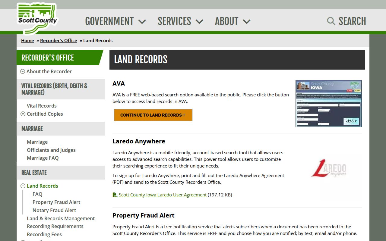
For an easement or ownership question, search the Scott County land-record channels. AVA can locate released and indexed instruments by party, document data, or legal details. The Recorder supplies the official deed, plat, or easement copy. A missing AVA result can mean that a numbered document is still awaiting indexing, verification, or release.
The Recorder's land-record access page identifies the official index and copy routes.
Davenport Neighbors Through Permits
Building permits explain visible change across nearby parcels. A Davenport result can connect an address with a parcel, owner or mailing name, project cost, permit fee, square footage, sprinkler indicator, class of work, contractor, issue and expiration dates, notes, and inspections. These fields may explain demolition, an addition, or why an old map footprint no longer matches the current parcel view.
The viewer is limited to building permits. The city's historical description referenced building history from 1919 and a pre-March 2020 split, but the live route should control. It is not a complete file of every alteration, code contact, utility change, or occupant. No public utility-customer lookup was found, so use permits, assessment changes, recorded instruments, maps, and news instead.
Compare several addresses from the same date range. A cluster of roof, demolition, addition, or repair permits can explain why the block looks different from an older aerial or Sanborn sheet. Keep the permit number and parcel ID together, since street formatting can shift while those identifiers preserve the link to the public file.
Davenport Neighborhood Labels Explained
Davenport's Planning and Zoning ArcGIS legend recognizes 25 neighborhood-style labels. They include East Bluff Neighborhood Association, Fejervary Neighbors, Gold Coast/Hamburg Historic District Neighborhood Association, Historic Washington Street, Neighbors of Prospect Park, Vander Veer Historic Neighborhood, and several watch areas. These names give geographic context to Davenport neighbors.
| Recognized label | What can be stated | What remains unknown |
|---|---|---|
| East Side Neighborhood Association | Name appears in the GIS layer | Current officers or member roster not located |
| Jersey Meadows Recognized Neighborhood | Recognized geographic label | Active association status not confirmed |
| Van Buren Park Neighborhood Watch Association | Watch or association wording appears | Participation and contacts not published in a found directory |
| Windsor Crest Heights | Map context for a named area | No public membership list located |
No separate official Davenport association directory with current officers, contacts, or members was located. Do not turn the legend into one. For a civic connection, use a group's own published channel or ask Davenport Planning and Development whether a current public contact record exists.
Historical Davenport Neighbors
For past Davenport neighbors, pair city directories with Sanborn fire-insurance maps. The Davenport Public Library collection reaches to the mid-1850s under its current collection claim. A special 1890 to 1891 street-address section lets a researcher start with the block instead of a surname. It is useful, but it captures a dated householder or business entry rather than every person.
Sanborn sheets exist for 1886, 1892, 1910, and 1956-republished material. They can show building outlines, construction material, stories, outbuildings, streets, and nearby features. Record the sheet number, intersection, and map date. A map is a snapshot and may omit an unrecorded change. Directories, tax books, permits, newspapers, and deeds add the human and legal layers.
Davenport Public Library also holds church, cemetery, oral-history, newspaper, and civic collections. A dated church or association reference can connect a person with a community, but access varies and no private membership should be inferred.
Davenport Neighbor Source Comparison
Official sources and commercial neighbor tools serve different roles. The official custodian publishes a defined record with a known date and correction route. Commercial compilations may blend old addresses, same-name people, relatives, and copied fields. They may be convenient leads, but they cannot replace a deed, parcel card, permit, plat, or dated directory page.
| Question | Official Davenport or Iowa source | Commercial compilation |
|---|---|---|
| Who owns a parcel? | Beacon plus recorded deed for legal proof | May repeat a stale owner name |
| Where is the boundary? | Final plat or survey | Map display may lack legal authority |
| Who lived there in a past year? | Dated directory, census, obituary or archive | Coverage and source date may be unclear |
| How is an error fixed? | Contact the named custodian | Correction does not alter the official record |
Use the commercial category, if at all, only as a clue. Verify every meaningful claim through the office or collection that owns the record.
Privacy for Davenport Neighbors
Public maps do not disclose every household member, guest, utility account holder, or protected person. USPS confirms address form and delivery geography, not who receives mail. Iowa voter data has limited statutory purposes and excludes key identification numbers. Safe at Home and Protect Our Protectors can shield or substitute addresses, so an apparent mismatch may be intentional.
Immediate safety issues belong with law enforcement or victim services, not a directory search. Request a specific public record through its custodian, and use Iowa Code Chapter 22 only for records it lawfully reaches. Confidential vital records, juvenile files, sealed matters, adoption data, protected addresses, and nonpublic victim information remain closed.
Lawful use. Research Davenport neighbors for civic curiosity, block history, or a lawful personal need. Never watch, harass, intimidate, threaten, or harm anyone.